


 Log in
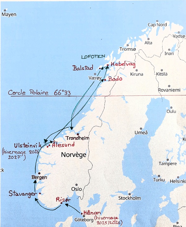
Our 2026 navigation program
Summary of our experience
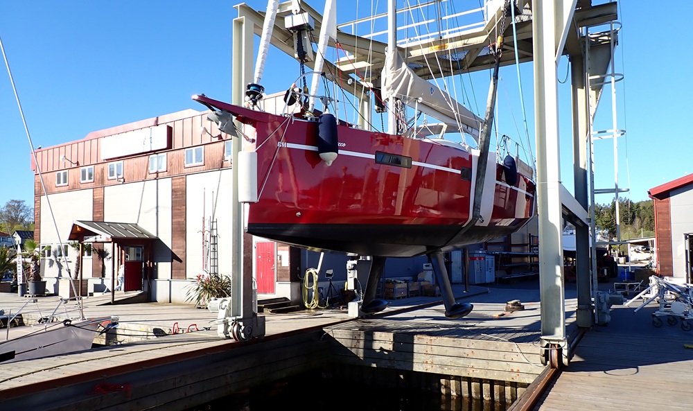
Our 1070 spent the winter nice and warm and unmasted in a heated hangar in Henan on the large island of Orust a little north of Gothenburg in Norway.
It was relaunched on May 5th and we left without delay for Norway.
We crossed the Gulf of Oslo and then sailed up to Stavanger, where we had arrived from the Orkney Islands in 2025. From there, we discovered new ports and islands, mostly sailing, as we had the time to wait between periods of northerly winds or calms. Despite this, without really realizing it, we burned through no less than 270 liters of fuel in three months of cruising... Far too much!
We will be spending most of our nights in very small harbors with 2 to 12 visitor berths. We will always find space; we have never had to moor alongside another boat.
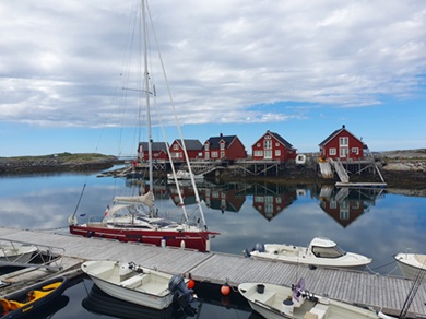
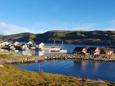
The very rainy, gray, and cold weather this summer (exceptional, according to the Norwegians) made us appreciate this comfort, and in the end, we only dropped anchor four times, even though we visited no fewer than 50 mini-marinas… At an average of 20-25 euros per night, it certainly adds up. We didn't even use the dinghy once.
There are very few sailboats north of Bergen; Norwegians prefer motorboats and the Gulf of Oslo. We will meet about three Germans, three or four French people, and five or six Norwegians or Swedes during the summer, all the way to the Lofoten Islands.
We're the only ones who sail against the north wind when it's not too strong and the current isn't unfavorable. The Norwegian has fuel and often motors.
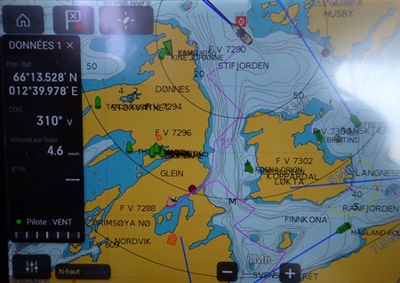
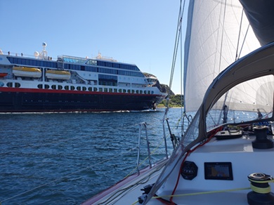
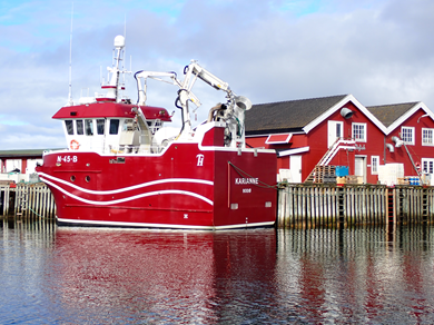
Navigating the sheltered waters between the islands and the mainland is very easy once you understand the buoyage system. We lose our taste for the open sea! Numerous ferries, small cargo ships, fishing boats, salmon farm workboats, and cruise ships offer tourist excursions very close to the rocks.
Be careful with the ZOOM function on the electronic map, as it makes you lose track of distances and therefore the widths of narrow passages.
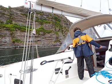
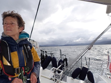
The red/green buoyage is quite different from what we're used to: white cones with a small red or green rectangle (invisible from a distance) at the top of a pole. Our crew will experience some tense moments trying to avoid the countless black poles marking the submerged rocks, which are only visible at the last moment (their color doesn't help). We've even passed north of a south buoy that we thought was green!
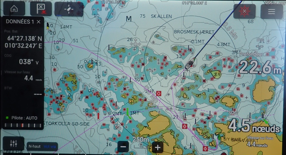
Choosing anchorages requires a lot of time using apps like Navily, Harbour Guide, and Harbour Map. There are too many choices and too many options to reconsider depending on the actual weather. But there will always be shelter available, and the forecasts are reliable except for currents. It's impossible to visit all the islands and do all the hikes recommended by the other sailors you meet. Some fjords are so deep, up to 120 nautical miles, that the only way to visit them is by ferry. Otherwise, you have to motor at least in one direction, and there are no anchorages available: 10 meters from the rocks, the water drops to 80 meters. Imagine the anxiety in case of engine failure!
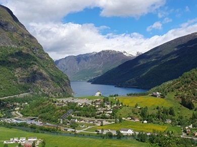
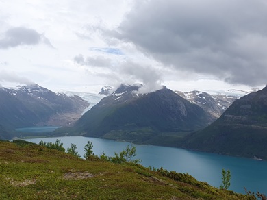
On June 19th we crossed the Arctic Circle (66° 30' North). Sophie saw it!!
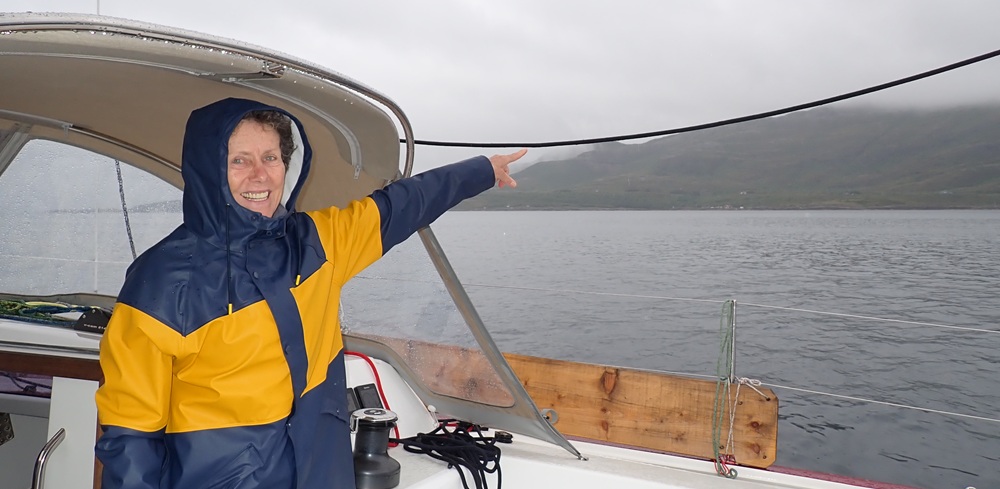
Indeed, more nights are needed; proper curtains are essential in the cabins for sleeping. The weather is still very humid; not a day goes by without some rain. It's not a big deal, we'll probably have a tumble dryer at the next stop.
We are touching the Lofoten Islands at Kabelvag at 68° 13' North.
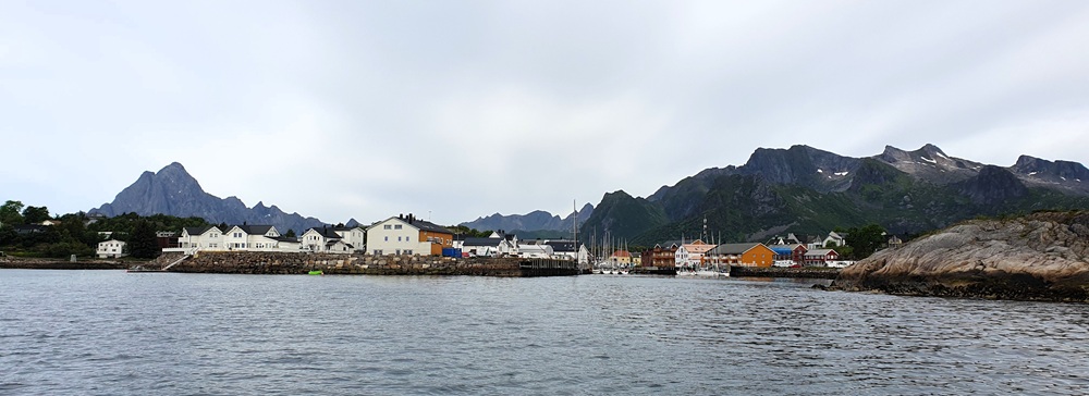
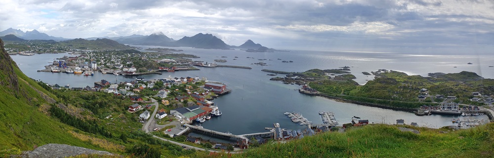
The ports there are sometimes tiny, sometimes large fishing ports with very small marinas, most of the time without restrooms. Buses are a good way to get around as they go right through the fjords.
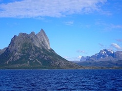
The mainland coast is just as beautiful opposite the Lofoten Islands and there is less caravanning….
Ten days later, we set course south, a little worried about the current, which generally flows north and should slow us down. (A branch of the Gulf Stream) Actually, no, Windy's current charts are very inaccurate. Similarly, the gales predicted a week in advance tend to disappear—all the better!
On August 5th we went back down to Ulsteinvik (62° North) where we will winter the RM. Dry dock, plastic-covered deck and moored on concrete blocks.
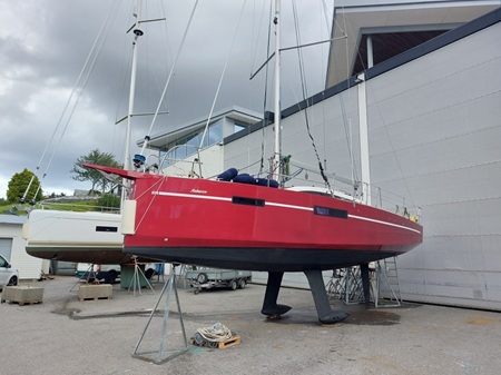
It is very early in the season, that's true, but we are longing for some sun and heatwave….We need luck to have a day without rain that will allow us to dry the sails and fold them.
What was AVERAGE:
Life is expensive in this country, pizzas cost 25 euros, and you have to speak English all the time; the fish farms will put you off salmon for good (PCBs, antibiotics galore, colorings, sea lice-cleaning boats…)
The train connection (shame on flying…) is difficult from Oslo through Germany.
Huge distances north/south. For example, we took a 10-hour bus ride from Ulsteinvik to Oslo.
The weather can be monotonous, but you just need to choose the right year?
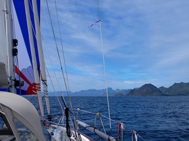
Quite a few engine hours as the wind is often light and rarely crosswind on these North/South routes. Gennaker and spinnaker are essential.
Some small towns are quite deserted and unattractive (population only 5 million). Completely dead on weekends.
Please do not take an interest in the politics (North Sea oil) of this state which does not want Europe but is in the Schengen area.
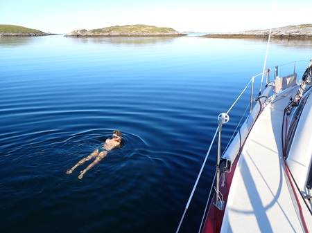
Frequent jellyfish, annoying when swimming in cold water. (Sophie's Passion)
Cash will be hard to come by, so bring two credit cards. A smartphone is essential for ordering in many restaurants (which are very expensive).
That was too good
NAVIGATION
Attentive but easy. Maximum tidal range of 2m and only north of Bergen. Weak currents, 1 kt max (except at Rorvik where it can reach 2 kts) flowing north, can however make tacking laborious.
Passing certain headlands, notoriously dangerous in bad weather, is nothing like what you find off the tip of Brittany outside of those periods. Nevertheless, it's still best not to attempt it in rough weather, we've read. At Cape Stad, a tunnel large enough for the Hurtigruten (the coastal express that carries 600 passengers) will be dug at the narrowest point of the peninsula so that cruise ship, ferry, and cargo traffic isn't disrupted, as happens several times a year currently.
Numerous shelters, sea often completely protected. Reliable weather. Precise navigational markers. The countless fish farms never completely close off a strait.
Very long sailing days are possible since from spring to mid-August it never really gets dark.
COMFORT
Complete and standard in small ports: water, electricity, perfect hot showers, washing machines and dryers. Sometimes a guesthouse where you can cook, prepare a meal and relax on a sofa.
With an electric hob on board we did not need to buy a Norwegian gas bottle (not camping gas).
Our 220v heater meant we only had to use the onboard fuel heater 3 or 4 times while at anchor. When we woke up, the temperature was between 0°C (in Sweden, where we wake up to frost on the deck!) and 10°C in mid-summer in the north, with quite a bit of humidity on board.
The sea temperature did not exceed 12°/13°C.
We found it easy to get supplies because there is always a small supermarket in even the smallest village.
ATMOSPHERE
A feeling of intrepidity due to our isolation and the few other sailboats we encountered. Always a place to be moored.
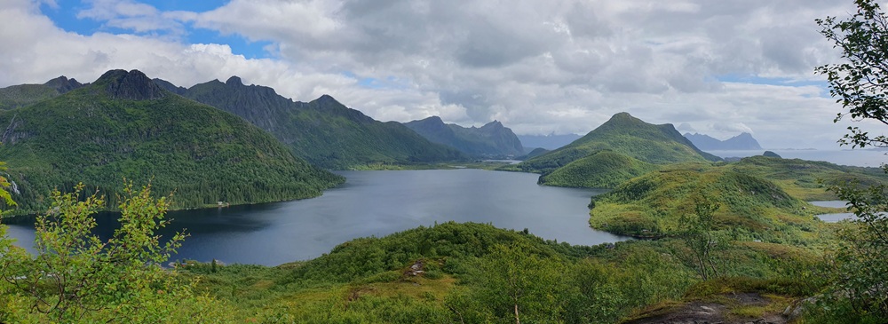
Numerous well-maintained and well-described hiking trails (the UT app or Norwegian topographic maps on an app like Iphygenie are very useful). Wild forests, waterfalls, numerous lakes, and blueberries in July by the sea!
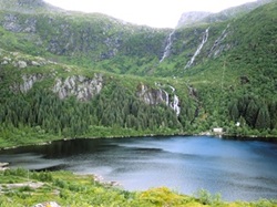
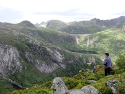
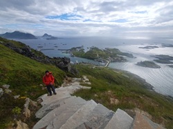
Saunas (sometimes wood-fired) and invigorating sea baths.
Trolling for mackerel (although we did manage to hook a cod 80cm long!), casting for saithe, fishing on drop-offs while stationary for pollack, and diving in the sand below 10m for scallops (our German friend went there for us!).
A warm welcome from the French yachtsman with his unusual sailboat with an open cockpit.
A relaxing atmosphere of general honesty. No one checks that you've paid for your berth; there's no harbor master's office. Everything is done via the Gomarina app or by depositing cash in a mailbox. Note that the Vipps app is only usable by Swedes and Norwegians.
In Oslo, don't miss the FRAM Museum with the real Fram sailing ship that took Amudsen to the South Pole and Nansen to the North.
WINTERING
Mooring is possible in several ports because the sea doesn't freeze on this west coast (Gulf Stream), unlike the Gulf of Oslo and western Sweden. It's a bit hard to accept, but that's the way it is. However, strong winds are common in winter, so fenders and mooring lines can be damaged. Furthermore, a meter of snow is possible at the shore, hence the recommended deck coverings. Dry docks are more expensive but more reassuring. For us, Ulsteinvik-Marina cost around €4,000, including all engine maintenance and water tank maintenance. Naturally, the boatyards are experts in winterizing boats.
ROAD
The most classic route to get there goes through Scotland then the Orkney Islands to Stavanger, 250 NM or the Shetlands to Bergen, barely 180 NM.
A month and a half in 2025, three months in 2026, and probably another month in 2027—we love sailing in Norway. Perhaps we'll return via the Shetland Islands to revisit Scotland.
Georges DEPETRI
